Watershed Resources
What is a watershed?
A watershed is an area of land that drains into a body of water, such as a pond, stream, river, lake, or ocean. Small watersheds can be part of larger watersheds. Water travels through a watershed either over the surface (precipitation, rainfall and melted snow) or by seeping into the soil (infiltration) over several land uses such as farms, forests, lawns, streets, etc. Surface runoff and infiltration in a watershed affect water quality. Pollution is collected along the water path, regardless of surface or sub-surface routes. What we do in the watershed can have consequences downstream, such as erosion, flooding, and poor water quality. There are many ways we can protect our watersheds. Remember, water drains off of rooftops, driveways, parking lots, roads (impervious surfaces), lawns, farm fields, etc.
Waters from Fairfield County continue to the Ohio River, the Mississippi River, and ultimately into the Gulf of Mexico. Rainwater that falls on more than half of the U.S. drains there. See an interactive map of the United States watersheds at https://river-runner.samlearner.com/ to locate larger watersheds outside of Fairfield County.
What is a water cycle?
USGS has a kid-friendly water cycle diagram at http://water.usgs.gov/edu/watercycle-kids.html with versions available for beginner, intermediate and advanced students.
Where does your water shed?
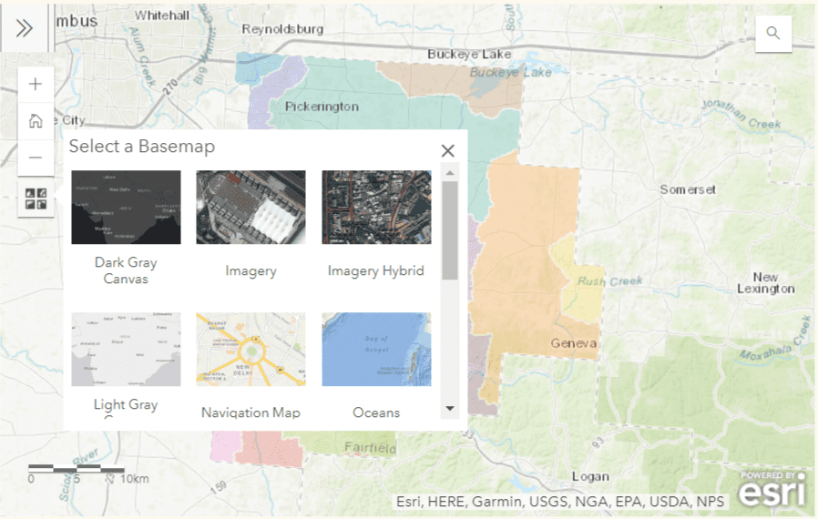
We all live in a watershed. Check out our interactive map (below) of the watersheds in Fairfield County. You can search by address and then click on the map, or zoom into the map and click on an area of interest to determine which watershed it is located in.
Interactive Map

Practices and ways you can protect your watershed:
- Riparian buffer/filter strip areas (trees and grasses) along stream bank corridors reduce bank erosion and filter pollutants.
- Grassed waterways in water patterns susceptible to erosion; turf-type fescue recommended
- Agricultural conservation tillage and no-till
- Contour strip cropping
- Cover crops
- Livestock exclusion (fencing or creating alternative watering sources)
- Wetlands
- Storm water retention/detention ponds
- Construction site the best management practices (BMPs), including timber harvest projects (straw bales, silt fences, filter fabrics, etc.). See Our Storm Water Pollution Solutions (MS-4 outreach for builders and contractors).
- Use the right rate, type and timing of fertilizer on a lawn/farm field that truly needs it. Have you tested your soil to see what it needs or, more importantly, doesn’t need? See soil testing for information.
- Use the right aquatic-friendly chemicals near water sources. See the Chemical Control of Aquatic Plants document for a list of products that are labeled for aquatic use.
- Pick-Up-Poop (PUP): prevent pet wastes from getting into streams and ditches.
- Fix leaking automotive fluids—oil and antifreeze, —and don’t dump them. Clean up any spills up with absorbent materials. Recycling locations are available.
- Don’t dump yard waste/leaves in drainage ditches or in the street. Lawn clippings can be left in the yard to aid in fertilization. Compost leaves. Leave a vegetated area by your stream edge. Don’t spray road ditches; bare soil erodes. Seed and mulch any bare areas that develop.
- Dispose of household hazardous waste and paint properly.
- Utilize rain barrels and rain gardens to reduce localized flooding and your use of groundwater resources.
- Inspect and maintain the septic system regularly.
- Drain the swimming pool properly (wait until chlorine levels are not detected)
- Choose environmentally friendly household products.
- Use PVC for tile outlets;corrugated tile that dangles over a stream bank causes erosion. Rock pads below tile outlets where they drip can prevent bank erosion.
- Remove fallen trees quickly to avoid backup or a logjam that erodes banks when water makes its way around them.
Watershed Resources:
- Stream Management Q&A – What Permit Where – This information was developed to help answer some more commonly asked questions about managing property along a stream/river. It also includes contact information for local agencies for further information along with a diagram of who regulates what areas in the landscape.
