Understanding the Extremes
by Carrie Brown, Engineering Technician
How often does a “100-year rainfall event” occur? It turns out that the answer is a bit more complicated than you might think.
It is a common misconception that a “100-year flood” happens once in 100 years. The term can be quite deceiving when taken at face value. In fact, it is possible for two 100-year storms to occur 50, 25, or even one year apart. Let’s break down the terminology a bit and discuss what “100-year” is actually referring to.
What is a flood?
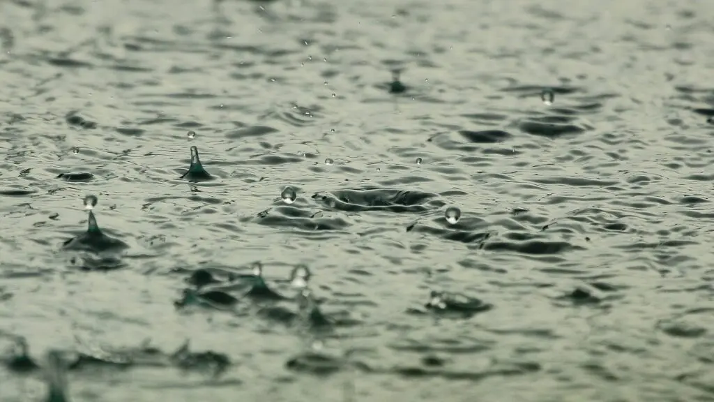
Flooding occurs when water overflows onto land that isn’t typically inundated. Floods can result from large rain events, waves from a large body of water coming onto land, rapid snow melt, or when an artificial barrier breaks (such as a dam).
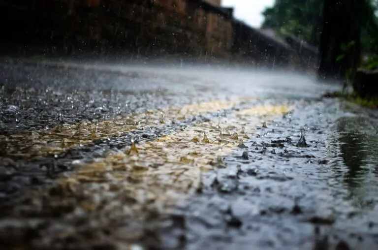
A flash flood results when heavy rainfall falls at a faster rate than can be absorbed into the ground or stored in a reservoir or lake. Similar to a sponge, the ground eventually becomes saturated, and remaining water is left to flow on the surface. Large impervious areas, such as parking lots, roads, and building roofs, can cause water to accumulate even faster. Flash flood events can be particularly dangerous as there may be inadequate time to warn (and in some cases, evacuate) the public residing within the flooded area.
A floodplain is the portion of a valley that has historically been inundated by overflowing streams, creeks, and rivers. Consequently, these areas have a higher chance of experiencing flood conditions. The Federal Emergency Management Agency (FEMA) and other government agencies have mapped out these areas affected by past flooding events. These maps are often used to determine flood insurance requirements or to aid communities in regulating future development. Permits are needed for development within a FEMA regulated floodplain. Floodplain maps can be found at the FEMA Flood Map Service Center.
At Fairfield SWCD, we engineer grassed waterways and stabilization structures, such as the timber box seen above, to handle large rain events. Waterways help to filter water and prevent soil erosion.
What is a 100-year rainfall event?
As defined by the National Weather Service, “a 100-year rainfall event (or more accurately the 100-year rainfall amount for a specified duration and at a given location) is an amount that on average is exceeded every 100 years, so its average recurrence interval is 100 years.” This means that it has a 1% chance of occurring in any given year. The actual number of years between flooding events can vary dramatically; it can happen twice in one year, three times in 50 years, or any interval in between.
Similarly, a 50-year rainfall event has a 1 in 50 or 2% chance of occurring in a year.
Now you can see why it is incorrect to take these terms literally since the average recurrence interval is simply an average.
Recurrence Intervals & Probabilities of Occurrences
| Recurrence intervals in years | Probability of occurrence in any given year | Percent chance of occurrence in any given year |
|---|---|---|
| 100 | 1 in 100 | 1% |
| 50 | 1 in 50 | 2% |
| 25 | 1 in 25 | 4% |
| 10 | 1 in 10 | 10% |
| 5 | 1 in 5 | 20% |
| 2 | 1 in 2 | 50% |
How much rain is in a 100-year rainfall event?
The amount of rain that “qualifies” for a 100-year rainfall is determined by studying past floods. Scientists use statistics to observe the frequency of large rain events and the average number of years between these events. From this they determine the probability that a flood of any given size will take place within a year.
As you might expect, these rainfall amounts vary based on location. The document below, produced by the National Oceanic and Atmospheric Administration (NOAA), shows the average recurrence interval for rainfall durations, ranging from 5-minutes to 60-days for Lancaster, Ohio.
The Precipitation Frequency Estimate can be selected for any location within the United States.
Failed to fetch Error: URL to the PDF file must be on exactly the same domain as the current web page. Click here for more info
Can the amount of rainfall designated as a 100-year rainfall event change for a given location?
Yes, many flood designations will change over time. When a river basin is altered, including dams or changes in upstream urban development (and increased impervious surfaces), scientists then reevaluate the frequency of flooding and the amount of damage it could produce. This new data may be used to alter a location’s precipitation frequency estimates.
Want to learn more?
Check out the following resources for more information on floods, floodplains, and rainfall events.
Local Information
Fairfield County Regional Planning Commission: Floodplains
City of Lancaster Floodplain Information
City of Pickerington Floodplain Information
General Information
National Weather Service’s Hydrometeorological Design Studies Center